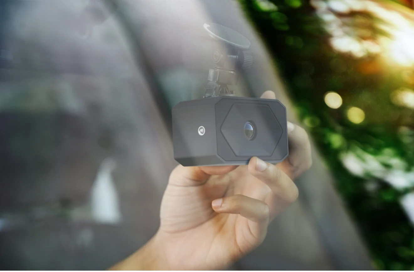
Google is testing collecting data from DVRs to update maps
Android Police editor Dallas Thomas recently discovered a new page in Google’s Help Center dedicated to collecting images from third-party DVR vendors. Google has not yet announced the initiative, which has raised questions among privacy advocates.
Android Police editor Dallas Thomas recently discovered a new page in the Google Help Center dedicated to collecting images from third-party DVR vendors.
New approach to updating maps
According to the information found, the program aims to improve traffic data such as speed limits. For now, the initiative appears to be experimental and limited to the UK.

Key Facts:
- Limited program details: The only public source of information is the Google Help Center page, with no press releases or other mentions.
- Program Partners: Google only partners with two organizations:
- Geopost, owner of international logistics solutions including DPD.
- Nextbase, the UK market leader in DVRs and operator of the Road Safety Club.
- Purpose of the initiative: As an example, Google points out speed limit updates.
- Geographic limitation: The program operates exclusively in the UK.
Transparency and privacy
Google emphasizes that the entire initiative is built with privacy in mind. Users can find out if their data participates in the program if they are either Geopost drivers or Road Safety Club members.
- Consent:
- For Geopost drivers, participation is part of the employment agreement.
- For Road Safety Club members, it is completely voluntary.
- Data processing:
- Video from DVRs is not published.
- Faces, license plates and other identifying details are blurred.
- Only short videos from the desired road sections are used. Once analyzed, the data is deleted.
Conclusion
Although the idea of collecting data from DVRs may raise privacy concerns, Google emphasizes that users have full control over their participation. The initiative aims to improve the accuracy of maps and provide more relevant information.
The goal of the initiative is to improve the accuracy of maps and provide more up-to-date information.


